
Optimized for headphones:
8 General Maps
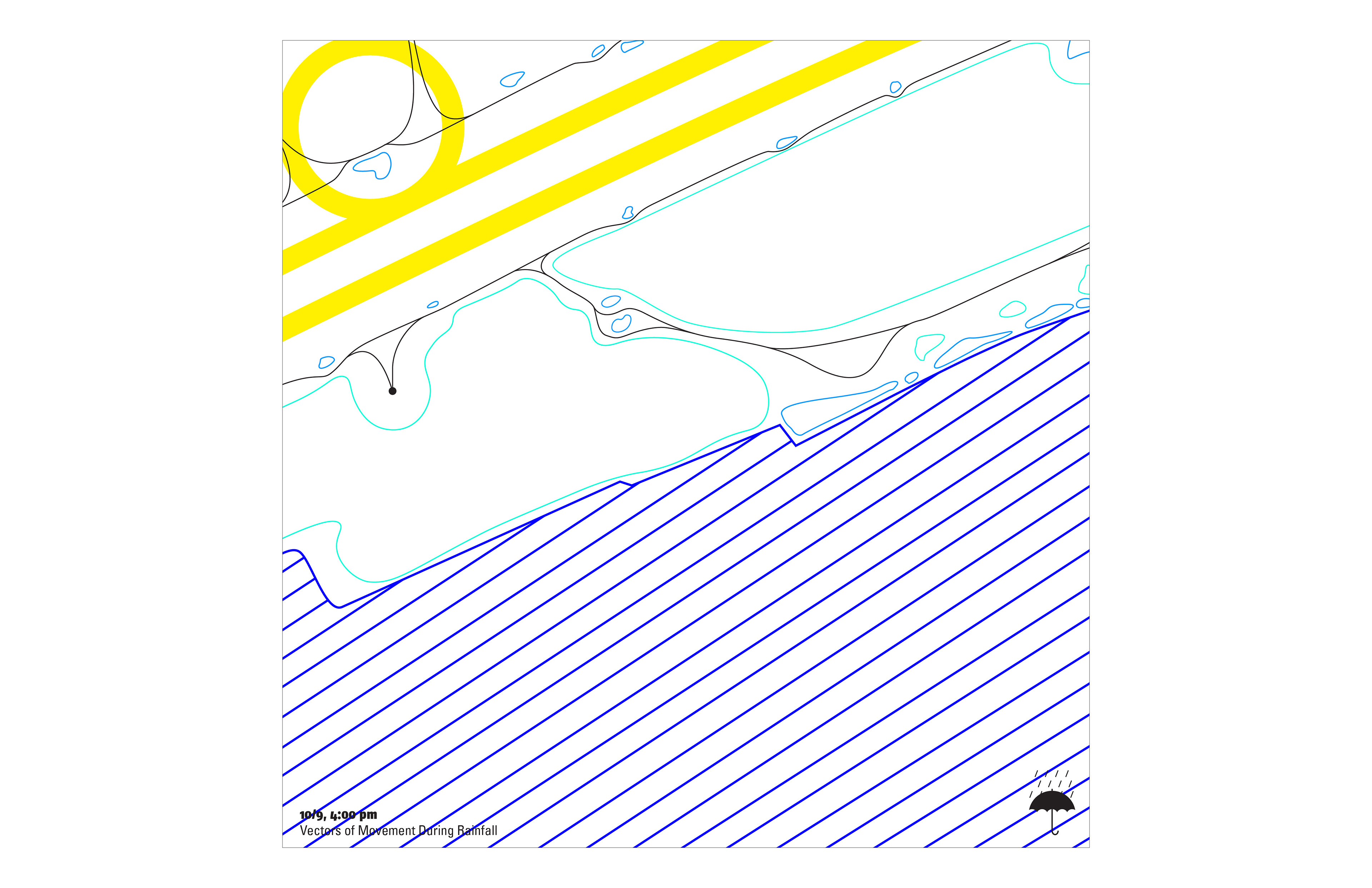
Vectors of Movement During Rainfall
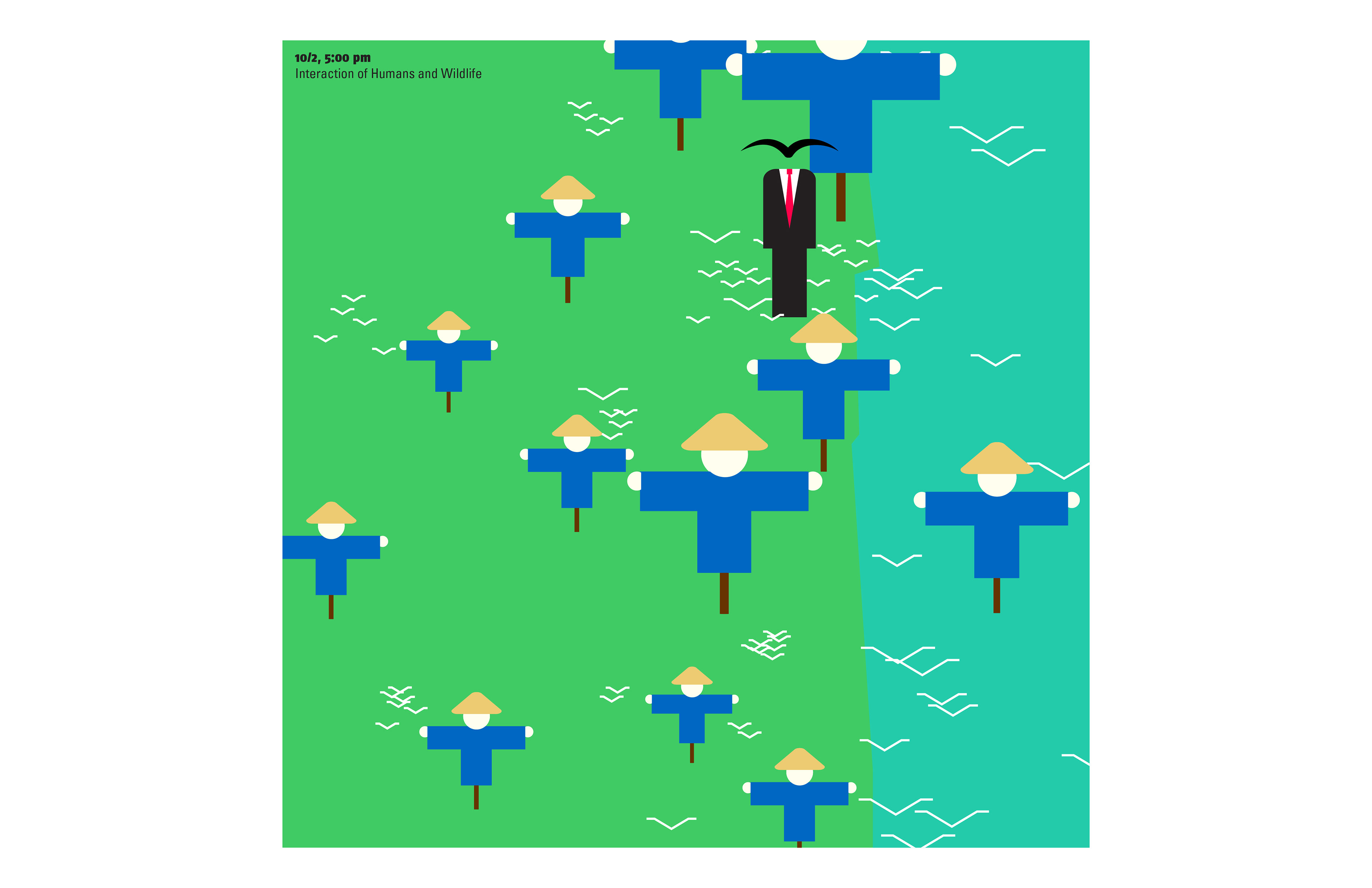
Interaction of Humans and Wildlife
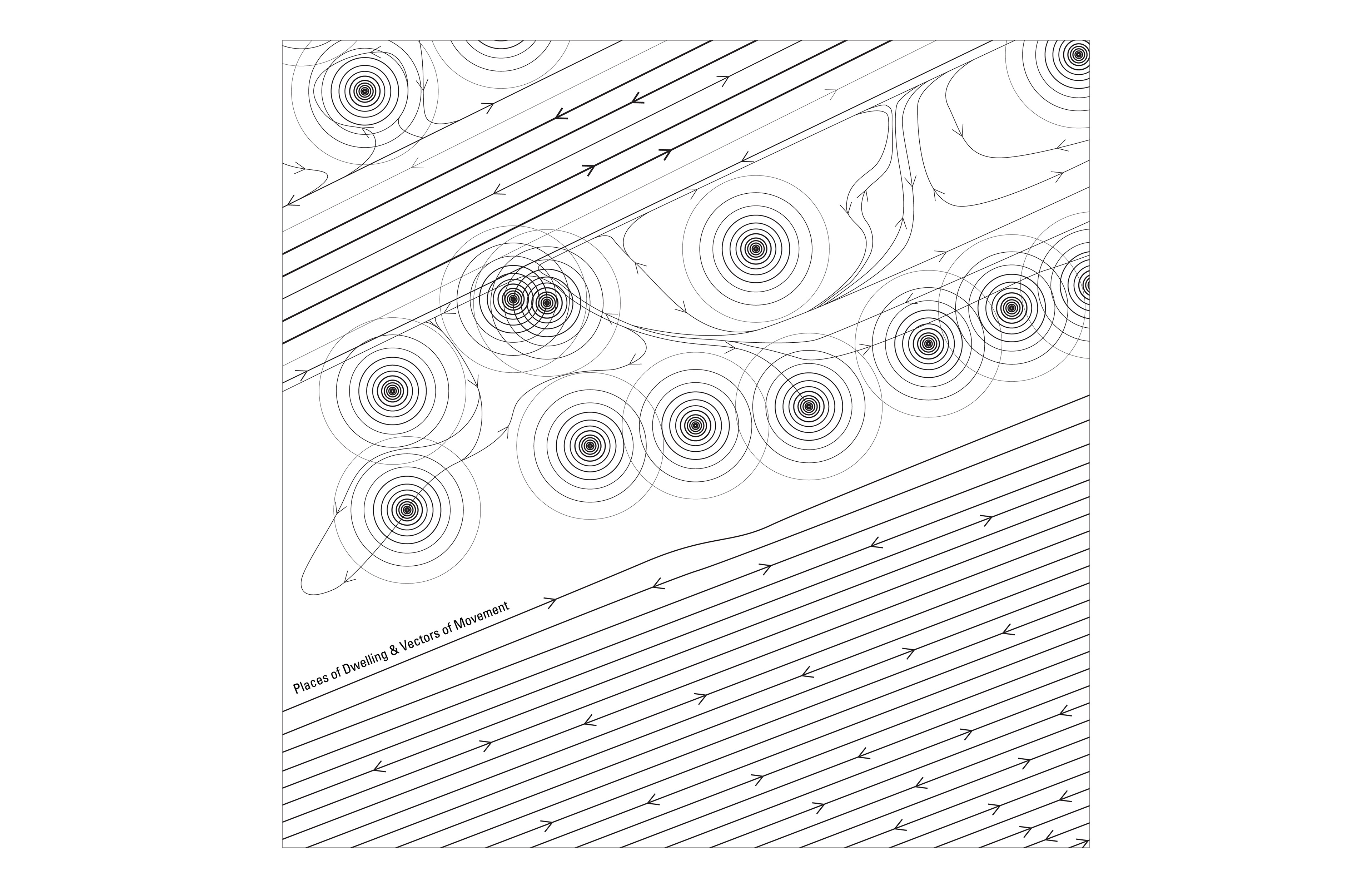
Places of Dwelling & Vectors of Movement
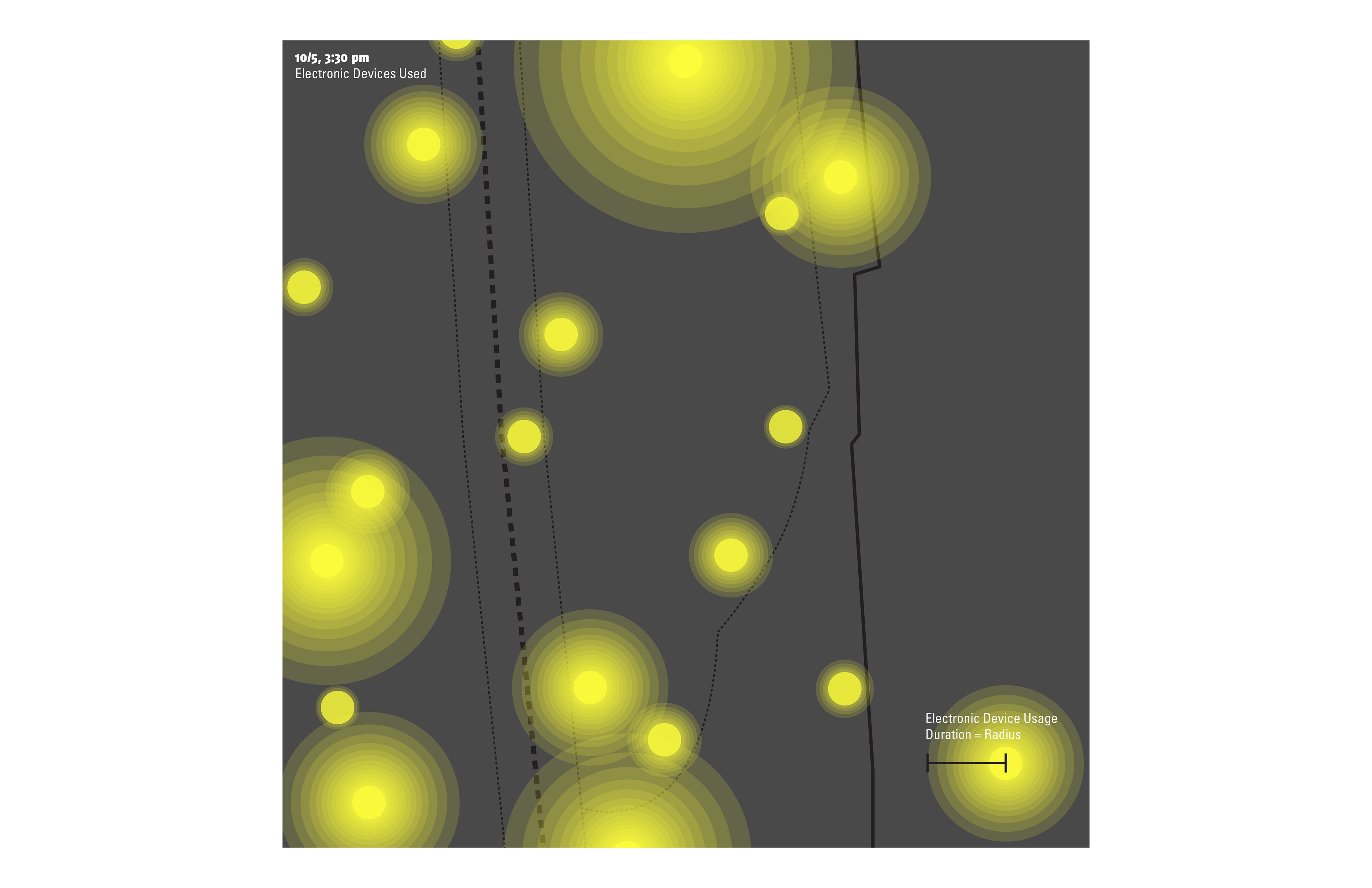
Electronic Devices Used
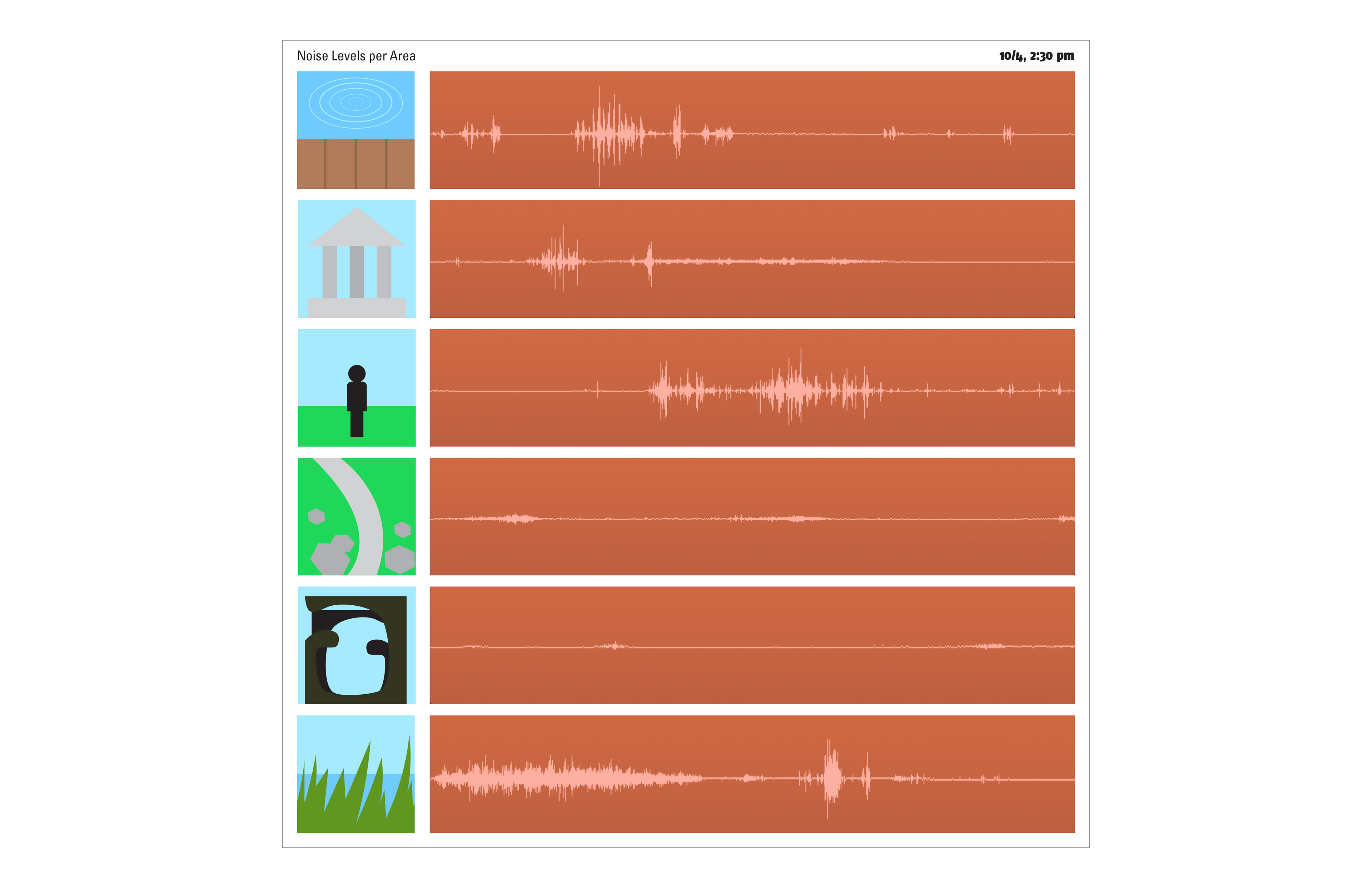
Noise Level per Area
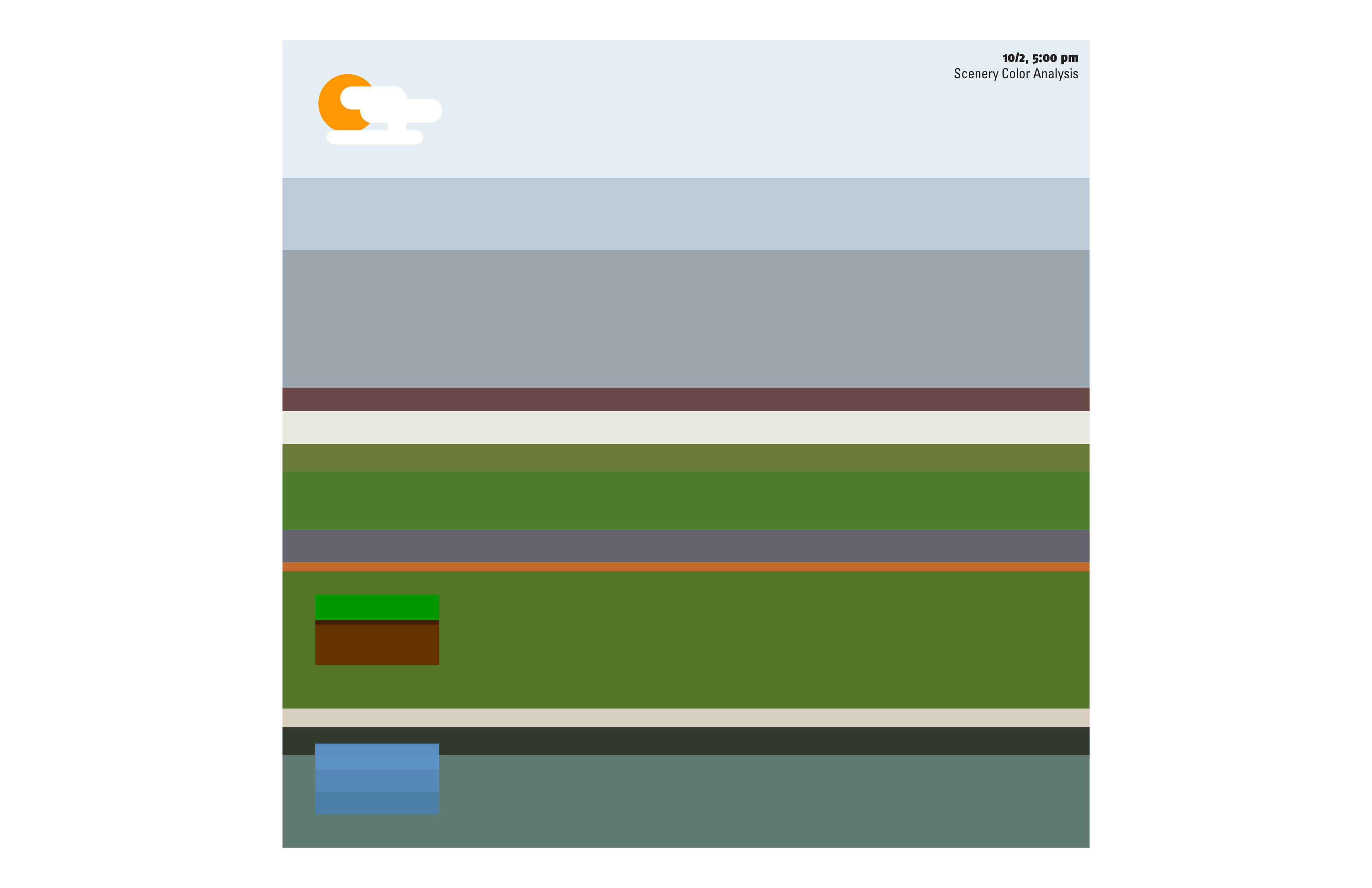
Scenery Color Analysis
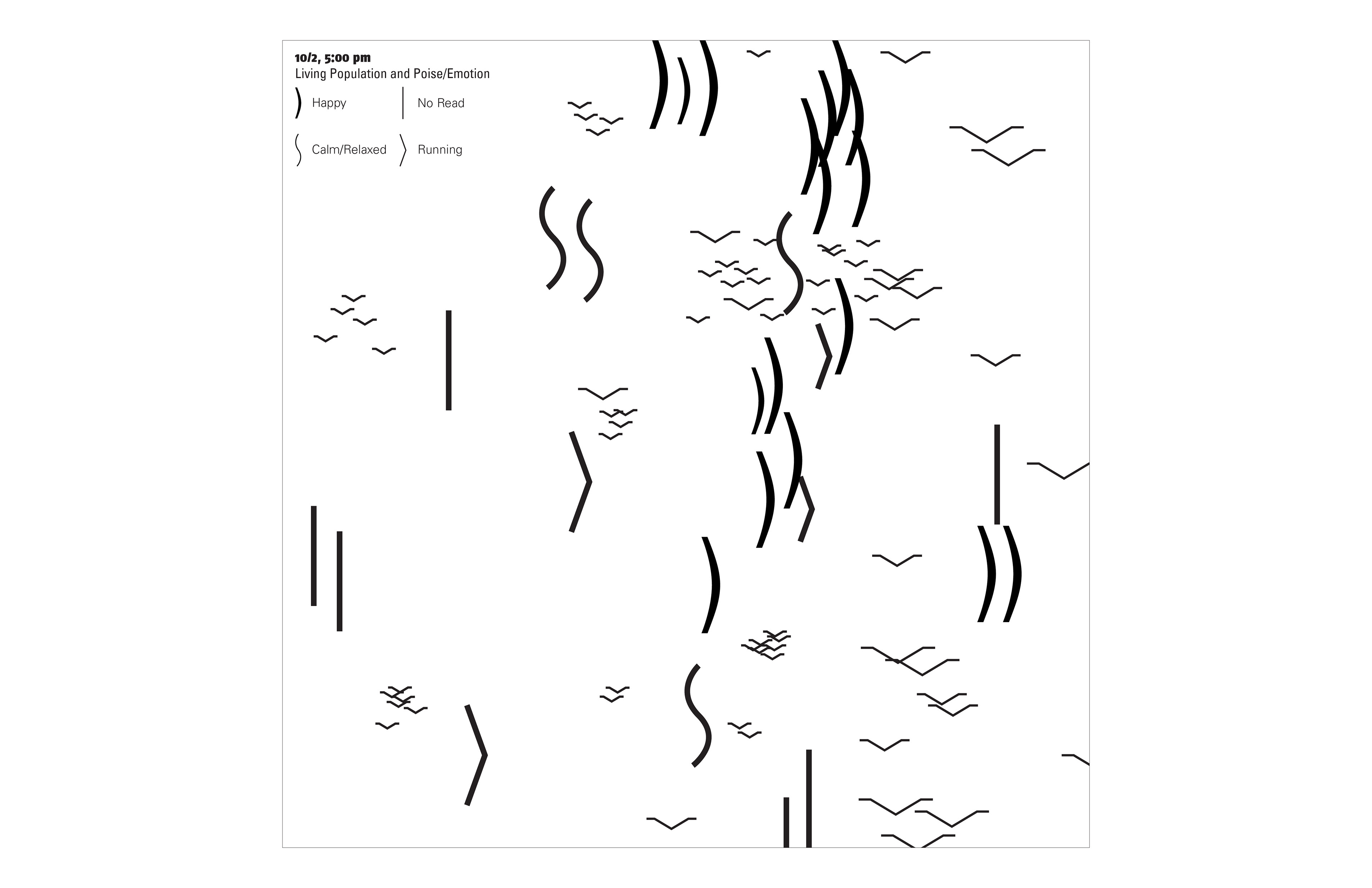
Living Population and Poise/Emotion
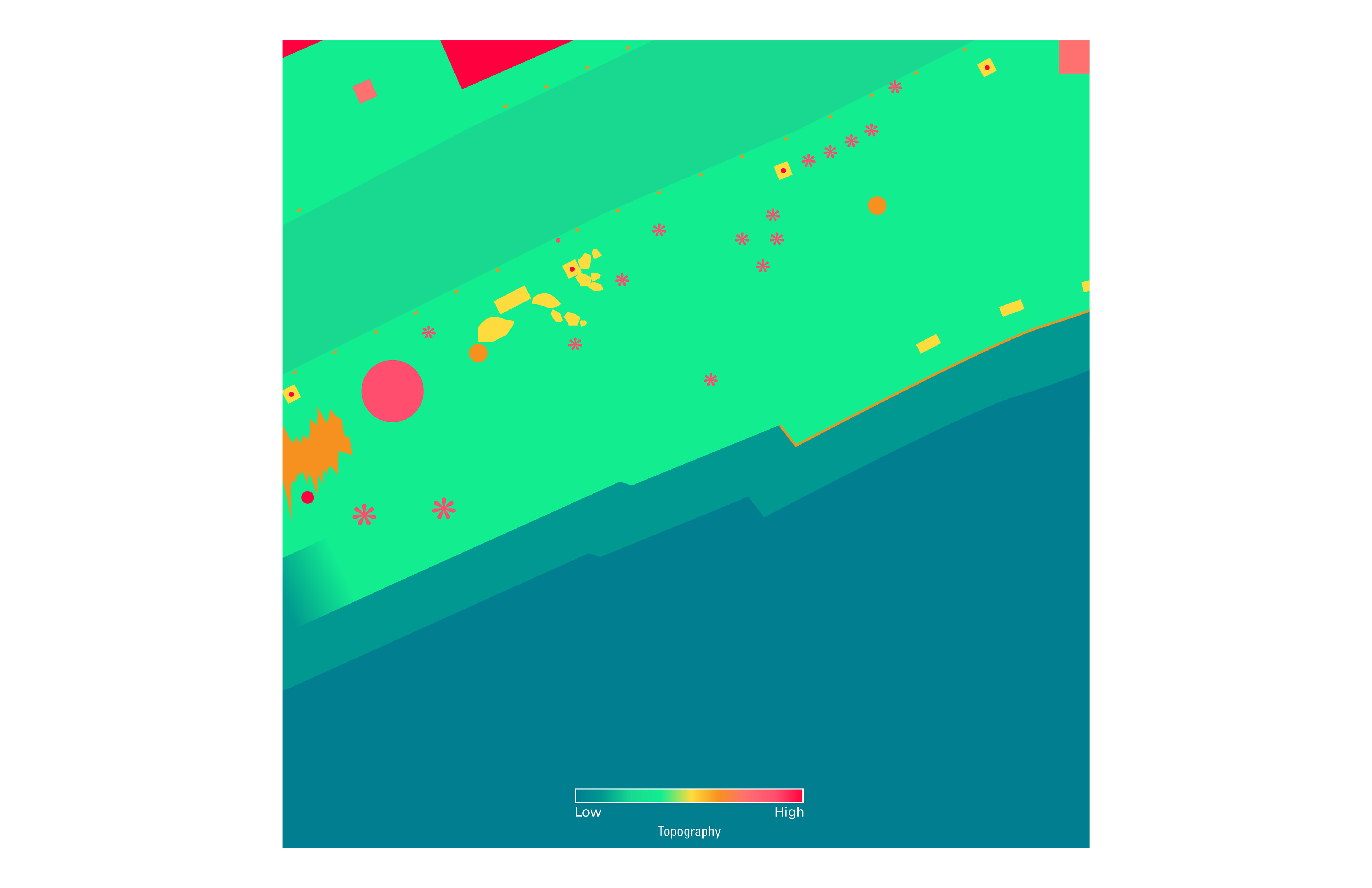
Topography